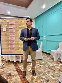
BIOGRAPHY:
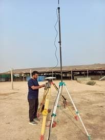
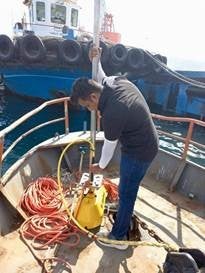
Bassam Nasir holds a BS in Geophysics from Bahria University, Pakistan (2021). He joined Dr. Weiwei Zhan’s lab as a PhD student in Civil Engineering, focusing on Coastal Geohazard Mapping and modelling. Before beginning his PhD, he served as a Marine Geophysicist at the National Institute of Oceanography, Pakistan, where he worked on national-scale projects concerning seawater intrusion, sea-level rise, and coastal erosion. With over four years of professional experience, he brings technical expertise in sub-bottom profiling, bathymetry, remote sensing & GIS, and seismic data interpretation. Additionally, he possesses a background in G&G software development from his time as a Geoscientist at LMKR, where he developed algorithms for geospatial software
RESEARCH:
Building on his previous work monitoring coastal erosion and land subsidence along the Sindh and Balochistan coast, Bassam’s research primarily focuses on coastal erosion and the geotechnical stability of shoreline features. Specializing in the Florida coastline, he utilizes remote sensing and geotechnical analysis to understand how natural forces shape the shoreline. By incorporating LiDAR, geophysical, and geotechnical datasets, his goal is to create better predictive models for coastal erosion, ultimately contributing to safer and more resilient coastal communities. His prior research contributions include publications on storm-induced coastal inundation modelling, spatiotemporal modelling of coastal vulnerability in the Indus Delta, and groundwater quality assessment.
CONTACT INFORMATION:
Email: bnasir@ucf.edu / bassam.kk97@gmail.com