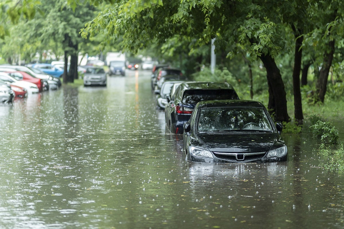
Extreme storms, like Sandy or Xaver, don’t happen often but when they do, cities need to be prepared.
That’s why researchers have developed a new method, detailed in a study published this week in Nature, to determine where extreme events, like 100-year storm floods, are more likely to occur, whether the likelihood of such extremes is changing over time and why.
This is important information cities can use to help put flood-protection resources, such as larger sea walls or larger pump stations, where they are needed most.
“We don’t want to over design and waste money to build things bigger than they need to be, which is very expensive,” says Thomas Wahl, study co-author and an assistant professor in UCF’s Department of Civil, Environmental and Construction Engineering, and member of UCF’s National Center for Integrated Coastal Research.
“On the other hand, we don’t want to build things too small to just find out 20 years down the road that we underestimated the design and now we need to pay more money to further adapt our infrastructure,” he says.
The new study analyzes trends in storm surges over the past nearly 60 years and shows that, in addition to sea level rise, changes in storm surges are affecting the magnitude of extreme flooding events along the coasts of Europe.
However, while some places see an additional increase in extreme flooding events because of changes in the storm surges, others see a decrease.
For instance, the northern coasts of Scotland are at a greater likelihood for more extreme flooding, whereas the coasts of Spain, France, Belgium, the Netherlands, Germany and Denmark are at a reduced likelihood, according to the study.
“What used to be a 50-year event, is now a 30-year event in some areas,” Wahl says. “So, there is an almost a 40% increase in the probability that certain extreme events could occur.”
“But in other areas, what used to be a 50-year event with a 2% chance of occurrence in a given year in the 1960s is now closer to a 100-year event with only a 1% chance of occurrence,” he says. “Those changes take place on top of sea level rise. So, while some places see a compounding effect of sea level rise and increase in storm surges, these two cancel each other out in other places.”
For the study, the researchers incorporated historical tide gauge data, dating from between 1960 to 2018, from 79 locations all along the coasts of Europe, into a novel statistical approach they developed.
The approach leverages spatial dependencies in extreme events to separate large-scale changes in storm surge magnitudes over time from observation error and small-scale noise.
This allowed them to compensate for small and noisy samples typical of tide gauge data, says Francisco Mir Calafat, the study’s lead author and senior scientist at the National Oceanography Centre, in Liverpool, UK.
“Our new approach has allowed us to obtain estimates of changes in sea-level extremes that are much more robust and less uncertain than those from traditional approaches,” Calafat says.
And combining climate model simulations with a data-driven storm surge model developed by doctoral student and study co-author Michael Getachew Tadesse at UCF, the researchers were able to attribute if changes in storm surges were due to internal climate variability or human-induced causes.
For example, the study data indicated that human caused changes, such as increased greenhouse gas emissions, increased the probability that the storm surge caused by Cyclone Xaver in Europe in 2013 occurred by approximately 20%.
“Our study found that changes in storminess over Europe since 1960 have altered the likelihood of extreme sea-level events just as much as sea-level rise, and human-induced climate change is partly to blame,” Calafat says. “This is a surprising result because, prior to our paper, the prevailing view was that changes in the likelihood of extreme sea-level events were primarily due to sea-level rise, with almost no contribution from changes in storm activity.”
Part of the reason for this is that the role of storm surges has not been easy to tease out until this study, Wahl says.
“We have extreme sea level events, which are getting more extreme, and we’ve known that for a while,” Wahl says. “And we know that sea level rise is a big factor that’s driving higher extreme sea levels, because simply the base water level is higher. A storm like Sandy in 2012 wouldn’t have been such a big deal in 1920.”
“But there was always this open question of, does storm surge activity also change and lead to more frequent or more intense storm surges?” he says.
Although the study analyzed coastlines in Europe, the researchers have plans to further develop and apply the method to examine extreme flooding risks in the U.S. and other parts of the world.
“It will be really interesting to see if better, more robust estimates give us a clearer picture of what the past can tell us about changes in storm surges that may have already taken place along the coasts of the U.S.,” he says.
The work expands on Wahl’s research into coastal changes, including examining nuisance flooding and better understanding storm surges and factors related to them, such as large-scale climate variability.
The study also included co-author Sarah N. Sparrow, the Climateprediction.net programme coordinator at the University of Oxford e-Research Centre.
The storm surge model used in the study was developed as part of Wahl’s NASA Early Career Investigator award and continues to be further developed and used in a new project supported by the NASA Sea Level Science Team and a project sponsored by the U.S. National Science Foundation under the PREEVENTS program.
Wahl earned his doctorate in civil engineering from the University of Siegen, Germany, and joined UCF’s Department of Civil, Environmental and Construction Engineering, part of UCF’s College of Engineering and Computer Science, in 2017. He is also a member of UCF’s National Center for Integrated Coastal Research and Sustainable Coastal Systems faculty cluster.