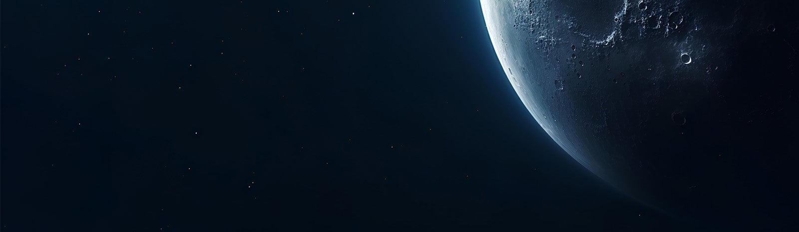
An Investigation of the Moon’s Silicic Volcanism
Lunar-VISE will use a multi-instrument payload on a lander and rover to determine the composition and physical properties of pristine rocks and regolith comprising the Gruithuisen domes, which will be critical to understanding their formation. The 10-day science investigation will use the rover and lander operations to collect surface spectral and imaging measurements at high spatial resolutions on the dome summit. These observations will provide a critical link to existing orbital data sets, extending what we learn at Gruithuisen to other similar lunar non-mare, or terrestrial, silicic spots, building an understanding of late-stage silicic volcanism on the Moon.

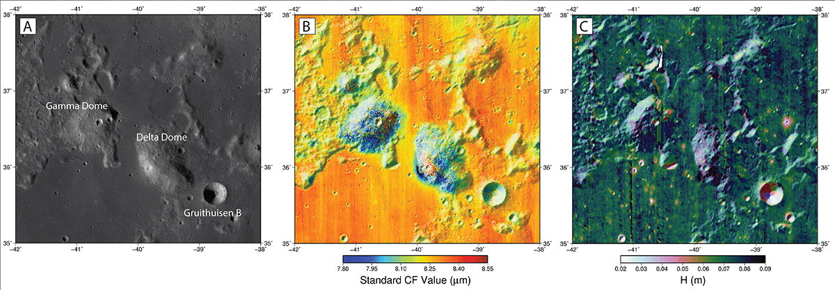
About the Gruithuisen Domes
Located in the western portion of the Imbrium basin rim, the domes remain a mystery to scientists. Flyover data from previous missions indicate that they are made of silicic minerals — rock hardened from cooled magma. On Earth, the closest comparison may be Mount St. Helens. The volcanic features appear to have large concentrations of heat producing elements, which could potentially be used for resources for long term exploration of the moon.
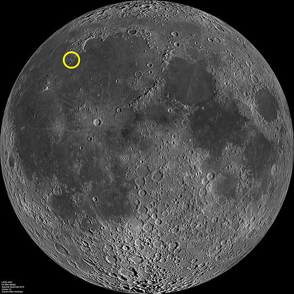
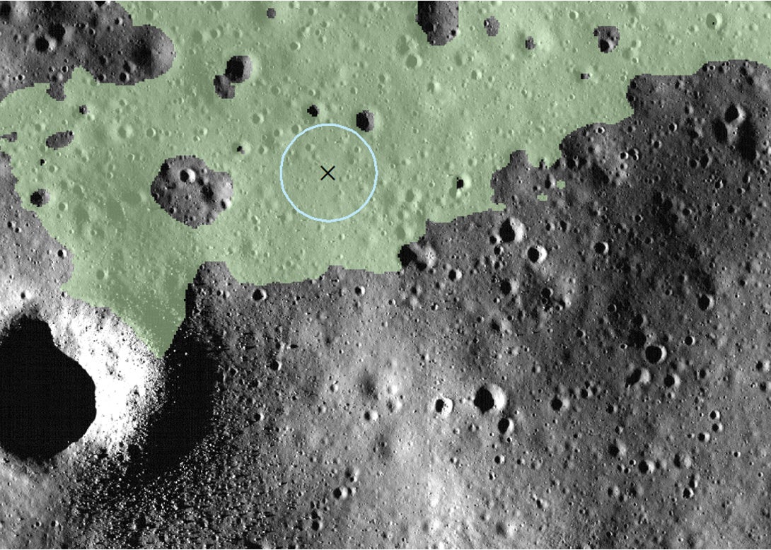
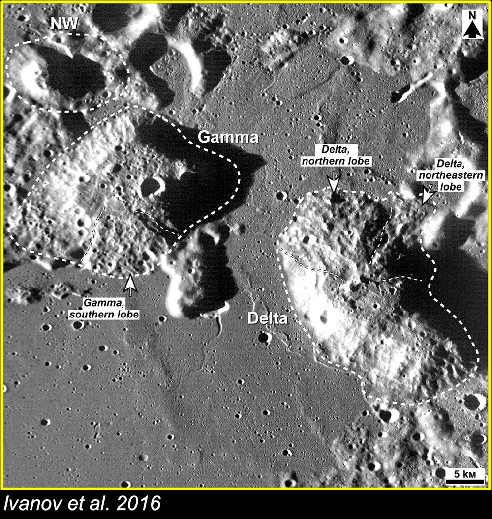
Gruithuisen Landing Site
The team has done some early work to pick the landing site on the Moon for the Lunar-VISE mission! We’re landing at a region near an impact crater that spread boulders of excavated material, so we can explore a wide range of the history of the region.
The Lunar-VISE investigation has two main goals:
Science goal: to understand how late-stage lunar silicic volcanism works, as typified by the Gruithuisen Domes.
- Science Objective 1: Map local variations in composition, and correlate to rock and regolith properties, surface features, and dome morphology.
- Science Objective 2: Provide context for orbital measurements of composition and thermophysical properties.
Exploration goal: to understand the geotechnical properties of the lunar regolith on the Gruithuisen Domes.
- Exploration Objective 1: Characterize spatial variations in lunar regolith properties at the Gruithuisen domes.
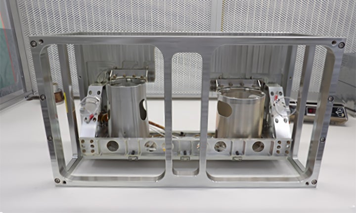
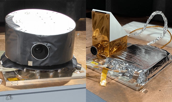
Payload
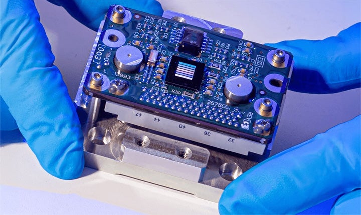
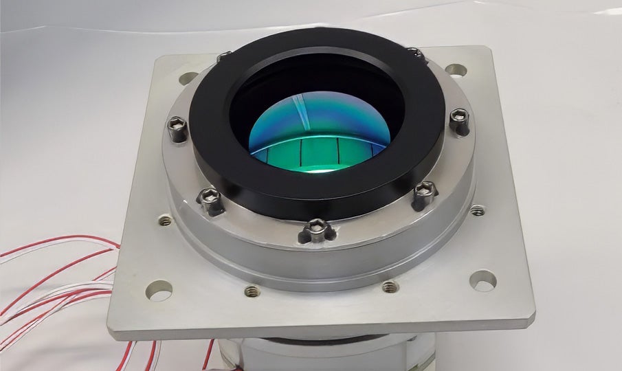
To achieve our science goals, we will use roving capabilities to perform in-situ measurements of visible to near infrared (VNIR) and thermal infrared (TIR) radiance as well as gamma ray and neutron spectroscopy (GRNS) of the Gruithuisen domes to determine composition and thermal physical properties.
Team Members
-
Kerri Donaldson Hanna
 Principal Investigator
 -
Adrienne Dove
 Deputy-Principal Investigator
 -
Javier Benavente
 Project Manager
 -
Van Rudd
 Lead Systems Engineer
 -
Craig Hardgrove
 GRNS Principal Investigator, Co-Investigator
 -
Rebecca Schindhelm
 VNIR Camera Systems/Performance Lead
 -
Paul Hayne
 LV-CIRiS Principal Investigator, Co-Investigator
 -
Jessica Sunshine
 LV-VIC Instrument Scientist, Co-Investigator
 -
Kristen Bennett
 Co-Investigator
 -
Brett Denevi
 Co-Investigator
 -
Lena Heffern (she/her)
 Co-Investigator
 -
Justin Hagerty
 Co-Investigator
 -
Adam LaMee
 Co-Investigator
 -
Margaret Landis
 Co-Investigator
 -
Thomas Prettyman
 Co-Investigator
 -
Matthew Siegler
 Co-Investigator
 -
Sarah Valencia
 Co-Investigator
 -
Jean-Pierre Williams
 Co-Investigator
 -
Prateek Tripathi
 Postdoctoral Researcher
 -
Sean Burnette
 Graduate Student
 -
Elena Dolgas
 Graduate Student
 -
Zach Vig
 Graduate Student
Mission Partners


![]()